Dr Rosa Lasaponara (CNR-IMAA)
LPI SERV_FORFIRE PROJECT
Istituto di metodologie per l’analisi ambientale (IMAA)
Consiglio nazionale delle ricerche (CNR)
C.da S. Loja, Zona industriale
85050 Tito Scalo (PZ)
12th EARSeL Forest Fires SIG Workshop
12th EARSeL Forest Fires SIG Workshop
The event is built on the previous workshops held in Alcalá de Henares (1995), Luso (1998), Paris (2001), Ghent (2003), Zaragoza (2005), Thessaloniki (2007), Matera (2009), Stresa (2011) Coombe Abbey (2013), Limassol (2015), and Chania (2017).
Remote sensing technologies have long been considered as a key tool for fire data, science, modelling, management, and monitoring. The most recent developments in computer technology, data processing, artificial intelligence (AI), deep learning approaches, and geospatial data mining techniques, enable advanced dynamic modelling, tools, data integration, and assimilation schemes, and are expected to significantly support and improve fire science and operational applications. Recently, the availability of new sensors from satellite, aerial, drone, and ground, along with the free access to large archives of data, has opened new perspectives for both fire science and applications.
We invite you to submit articles on topics including, but not limited to, the following:
For more information about this Special Issue, please see:
https://www.mdpi.com/journal/remotesensing/special_issues/fire_rs
For information on manuscript preparation and related matters, please see the instructions for authors:
12th EARSeL Forest Fires SIG Workshop
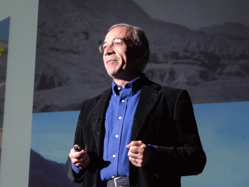
The lecture will cover the recent developments in the use of RS data for burned are mapping, including both the generation and validation of the products, as well as their use for climate and atmospheric models. Special emphasis will be given to global products, produced from new sensors, including coarse (MODIS, OLCI, SLSTR) a medium spatial resolution (OLI, MSI, SAR).
In this talk we review the state and trends of wildfires in the Mediterranean area, focusing on the summer burned area. Using an empirical, data-driven model built on the available data from EFFIS and national inventories, we discuss possible future scenarios and show how the model can be used to improve seasonal wildfire forecast. Finally, we discuss the comparison between fire-related remote sensing products and the ground data provided by EFFIS.
Although the term wildfires hints on a potential natural cause of the fire, far from human nature, our data show that most of the fires occurring worldwide have a human cause. Over 400 million ha are burnt every year and the number and effect of wildfires is still on the raise, despite the human efforts of fighting their effects by increasing firefighting fleets and means. Climate change is already influencing fire regimes and has recently led to a series of unprecedented wildfires in many regions of the world.
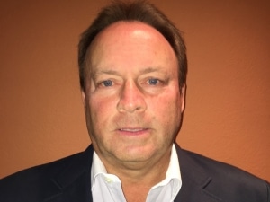
Vince Ambrosia is a Senior Research Scientist / Adjunct Faculty Member at California State University – Monterey Bay, and the NASA Applied Science Associate Program Manager for Wildfire at NASA HQ, responsible for management of a portfolio of projects related to Earth Observations in support of wildland fire management.
WORKSHOP TOPICS
Earth Observation technologies have been long considered as a key tool for fire data science, modelling, management, and monitoring. Earth Observation is of unparalleled importance for monitoring the effects of climate change, degradation, fire occurrence, dynamic modelling of fuel structure and fuel moisture models, fire disturbance monitoring at various spatio-temporal scales.
Recently, the availability of new sensors from satellite, aerial, drone, and ground along with the free access to large archives of satellite has opened new perspective in both fire science and applications. Moreover, the most recent developments in computer technology and data processing techniques enable advanced Modelling tools and data assimilation schemes, expected to significantly support fire science and operational applications.
The workshop will bring together experts in remote sensing, forest managers, researchers, local governments and global organizations to address the key strategic issues of fire data science, modelling, management, and monitoring.
The thematic sessions will include presentations and poster on the use of historical archives and data delivered by the most recent satellite missions, employing big data and time-series for:
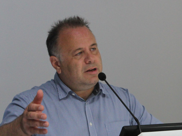
Speaking on behalf of the organising committee, it is my honour and pleasure to welcome all of you to this international assembly.
The organisation of this event started almost two years ago when Prof. Gitas invited me to organise the next workshop of the EARSeL Special Interest Group on Forest Fires. After a great deal of effort by all members of the organizing committee and the kind contribution by distinguished experts an intensive program, with a large number of excellent lectures and papers has been developed.
The aim of the 12th international workshop is to focus on recent developments related to ‘Remote Sensing of Forest Fires’ related to:
that have opened new perspectives in both fire science and applications.
This idea clearly links with international programmes of a similar scope, such as the COPERNICUS and the Global Observation of Forest Cover/Land Dynamics (GOFC-GOLD) who, together with the Joint Research Center of the European Union and NASA support this event.
Dear guests, allow me to express my sincere appreciation and acknowledgement to all members of the organizing committee and the sponsors (national and international) who made this conference a reality. Once more, on behalf of the local organizing committee I wish you an enjoyable and interesting stay in Rome.
NASA-AMES, USA
University of Medellin, Colombia
ESA, EU
Space Research Institute, Russia
University of Idaho, USA
University of Alcala, Spain
CSIR Meraka, South Africa
Aristotle University of Thessaloniki, Greece
Technical Polytechnic University of Cyprus, Cyprus
IRSTEA, France
Aristotle University of Thessaloniki, Greece
IMAA-CNR, Italy
Natural Resources Canada, Canada
University of Balamand, Lebanon
University of Lisbon, Portugal
CSIC – Instituto de Economía Geografía y Demografía, Spain
University of Zaragoza, Spain
University of S. Dakota, USA
JRC, EU
Aristotle University of Thessaloniki, Greece
IREA-CNR, Italy
University of Melbourne, Australia
University of Leicester, UK
Vrije University of Amsterdam, Netherlands
Australian National University, Australia
ESA
ESA
ESA
ESA
FMI
CNR-IBIMET
CNR-IBAF
CNR-IRSA
CNR-IGG
NCSRD
GCRI
KNMI
ESA
ESA
La Sapienza
University of Patras
Politecnico di Bari
Conicet
BRGM
BRGM
ESA
NASA
MICHIGAN STATE UNIVERSITY
UNIVERSITY OF IDAHO
ESA
UNIVERSITY OF ALCALA
NASA
ARISTOTLE UNIVERSITY OF THESSALONIKI
CNR – IMAA
CNR – IGG
CNR-IMAA
NASA-AMES, USA
Aristotle University of Thessaloniki, Greece
CNR-IMAA
CNR-IMAA
CNR-IMAA
CNR-IMAA
ESA
ESA
Otherwise their contributions will be removed from the programme. The fee includes a copy of the abstract book, coffee breaks, light launches, Icebreaker Reception, and Workshop Dinner.
Registration Fees
Registration Fees
12th EARSeL Forest Fires SIG Workshop
Otherwise their contributions will be removed from the programme.
The fee includes a copy of the abstract book, coffee breaks, light launches, Icebreaker Reception and Workshop Dinner
Registration Fees
Registration Fees
Remote sensing for forest fire
Participants interested in presenting their recent work, either through an oral or a poster presentation, must submit an abstract.
The abstract should be written in English, 500-800 words including one figure and the authors should choose at least one topic from the list of topics the symposium is addressing.
The submission should be made through the email address: earsel_fire_conf@imaa.cnr.it completing the submission form that requires the text of the abstract in plain text, as well as in an editable file format.
Please use this template for the abstract format.
Training | 12th EARSeL Forest Fires SIG Workshop
On the occasion of the conference 12th EARSeL Forest Fires SIG Workshop a training will be held on the application of active and passive remote sensing techniques for fire research. The training course will take place from 30 September to 1 October. It will focus on the use of active and passive Earth Observation (EO) Technologies for fire monitoring.
EO has long been considered as a key tool for fire data, science, modelling, management, and monitoring. The most recent developments in computer technology, data processing, artificial intelligence (AI), deep learning approaches, and geospatial data mining techniques, enable advanced dynamic modelling, tools, data integration, and assimilation schemes, and are expected to significantly support and improve fire science and operational applications. Recently, the availability of new sensors from satellite, aerial, drone, and ground, along with the free access to large archives of data, has opened new perspectives for both fire science and applications.
The training is intended for early career researchers, students, phD students and young professionals from European institutions and Canada with background in Remote Sensing and working in topics related to wildfire. Applicants from other countries are welcome to apply subject to availability of spaces. The official language of the training course is English.
No participation fees will be charged for the training. Participants are expected to cover their own travel and accommodation costs.
The training is free of charge for all participants.
Coffee breaks will be provided by ESA-CNR- EARSeL organization.
Participants are expected to cover all other expenses related to their
participation (travel cost, accommodation, lunches etc.)
Training Room 9007 (Building 9), ESA ESRIN, Largo Galileo Galilei, 1, 00044 Frascati RM, Italy
How to get to ESRIN: http://www.esa.int/About_Us/
To register for the course, please send an email with a curriculum and covering letter to rosa.lasaponara@cnr.it and Amalia.Castro.Gomez@esa.int or you can complete the appropriate form.
The event will be held prior to the workshop “Advances in Remote Sensing for Forest fire”, and registration for the workshop is not a prerequisite to attend the training.
6 Septemberth 2019
12 Septemberth 2019
EARSeL / CNR / ESA have the right to receive and analyse the CV’s of the candidates in order to make the selection. Thus, the candidates must authorise thes entities in writing and signing the letter of consent into your CV:
“I …name & surname… hereby agree with processing of my personal data by the EARSeL / CNR / ESA experts for the purposes of selection of participants for the IV ESA EARSEL CNR SCHOOL taking place in Rome from 30/09 to 01/10 2019″.
| Timetables | Activities |
|---|---|
| 08:30 – 09:00 | Registration |
| 09:00 – 09:15 | Opening Ceremony Speaker: ESA – EARSeL – CNR |
| 10:00 – 11:00 | An Overview of remote sensing for Forest fire Speaker: Rosa Lasaponara CNR-IMAA and Emilio Chuvieco Alcala University |
| 11:00 – 11:30 | Coffee Break |
| 11:30 – 12:00 | Theory: Algorithm for automated burned area mapping with High resolution data Speaker: Dimitris Stavrakoudis |
| 12:00 – 13:00 | Lunch Break |
| 13:00 – 14:45 | Exercise (to be confirmed): Burned area mapping with S2 (SNAP) Speaker: RUS |
| 14:45 – 15:15 | Theory (to be confirmed): Reminders of SAR basics. Discussion on challenges of S1 for Fire applications Speaker: ESA / CNR/EARSeL |
| 15:15 – 15:30 | Coffee Break |
| 15:30 – 16:30 | Theory: Soil Organic Matter for S1 and S2 Speaker: Rosa Lasaponara / Maria Danese |
| 16:30 – 17:00 | Exercise (to be confirmed): Soil moisture before a fire (CCI toolbox and SMOS datasets) Speaker: ESA |
| 17:00 – 17:30 | Discussion |
| 17:30 – 19:00 | Ice breaker |
| Timetables | Activities |
|---|---|
| 09:00 – 10:00 | Theory: Fire emissions: Sentinel- based monitoring Speaker: Maria Danese / Antonio Pepe/ Dimitris Stavrakoudis |
| 10:00 – 11:00 | Exercise: Active fire mapping with S3 ( SNAP) Speaker: RUS |
| 11:00 – 11:30 | Coffe Break |
| 11:30 – 12:30 | Exercise (to be confirmed): Aerosol monitoring with Sentinel-5P Speaker: RUS |
| 12:30 – 13:30 | Lunch Break |
| 13:30 – 15:00 | Theory and practical exercise: Satellite Time Series Analysis Speaker: Maria Danese / Antonio Pepe/ Dimitris Stavrakoudis |
| 15:00 – 15:30 | Coffee Break |
| 15:30 – 16:15 | Exercise (to be confirmed): EOBrowser Wildfire case study (S2 and S5-P) Speaker: ESA |
| 16:15 – 16:30 | Discussion |
| 17:30 – 18:00 | Closing & Feedback |
Remote sensing for forest fire
On the occasion of the conference 12th EARSeL Forest Fires SIG Workshop a training will be held on the application of active and passive remote sensing techniques for fire research. The training course will take place from 30 September to 1 October. It will focus on the use of active and passive Earth Observation (EO) Technologies for fire monitoring.
EO has long been considered as a key tool for fire data, science, modelling, management, and monitoring. The most recent developments in computer technology, data processing, artificial intelligence (AI), deep learning approaches, and geospatial data mining techniques, enable advanced dynamic modelling, tools, data integration, and assimilation schemes, and are expected to significantly support and improve fire science and operational applications. Recently, the availability of new sensors from satellite, aerial, drone, and ground, along with the free access to large archives of data, has opened new perspectives for both fire science and applications.
The training is primarily intended to provide a practical introduction to the processing of Sentinel satellite data with particular reference to Synthetic Aperture Radar (SAR) data for Remote sensing of forest fires. Ideally participants would have some background in remote sensing and data analysis, but the course assumes no prior knowledge of SAR. The training will take place in English.
The training is free of charge for all participants.
Coffee breaks will be provided by ESA-CNR- EARSeL organization.
Participants are expected to cover all other expenses related to their
participation (travel cost, accommodation, lunches etc.)
Training Room 9007 (Building 9), ESA ESRIN, Largo Galileo Galilei, 1, 00044 Frascati RM, Italy
How to get to ESRIN: http://www.esa.int/About_Us/
To register for the course, please send an email with a curriculum and covering letter to rosa.lasaponara@cnr.it and Amalia.Castro.Gomez@esa.int or you can complete the appropriate form.
The event will be held prior to the workshop “Advances in Remote Sensing for Forest fire”, and registration for the workshop is not a prerequisite to attend the training.
6 Septemberth 2019
12 Septemberth 2019
EARSeL / CNR / ESA have the right to receive and analyse the CV’s of the candidates in order to make the selection. Thus, the candidates must authorise thes entities in writing and signing the letter of consent into your CV:
“I …name & surname… hereby agree with processing of my personal data by the EARSeL / CNR / ESA experts for the purposes of selection of participants for the IV ESA EARSEL CNR SCHOOL taking place in Rome from 30/09 to 01/10 2019″.
| Timetables | Activities |
|---|---|
| 09:00 – 10:00 | Theory: Fire emissions: Sentinel- based monitoring Speaker: Maria Danese / Antonio Pepe/ Dimitris Stavrakoudis |
| 10:00 – 11:00 | Exercise: Active fire mapping with S3 ( SNAP) Speaker: RUS |
| 11:00 – 11:30 | Coffe Break |
| 11:30 – 12:30 | Exercise (to be confirmed): Aerosol monitoring with Sentinel-5P Speaker: RUS |
| 12:30 – 13:30 | Lunch Break |
| 13:30 – 15:00 | Theory and practical exercise: Satellite Time Series Analysis Speaker: Maria Danese / Antonio Pepe/ Dimitris Stavrakoudis |
| 15:00 – 15:30 | Coffee Break |
| 15:30 – 16:15 | Exercise (to be confirmed): EOBrowser Wildfire case study (S2 and S5-P) Speaker: ESA |
| 16:15 – 16:30 | Discussion |
| 17:30 – 18:00 | Closing & Feedback |
4*
Via dei Salentini 1/3
http://www.ateneorome.com
+39 (0)6 444 00 42
4*
Via dei Salentini 1/3
http://www.ateneorome.com
+39 (0)6 444 00 42
3*
Largo degli Osci, 65
http://www.hotellaurentia.com
+39 (0)6 4450218
3*
Via Villafranca 20
http://www.hoteldesartistes.com
+39 (0)6 445 43 65
3*
Viale Ippocrate, 119
http://www.globushotel.com/
+39 (0)6 445 70 01
Please let us know if you are some meal preferences